Home | Our health walking routes | Health walk Rangen wine trail
Health walk Rangen wine trail
Health walk Rangen wine trail
4,2 Km 1h30 min 127 Easy En poussette 4x4
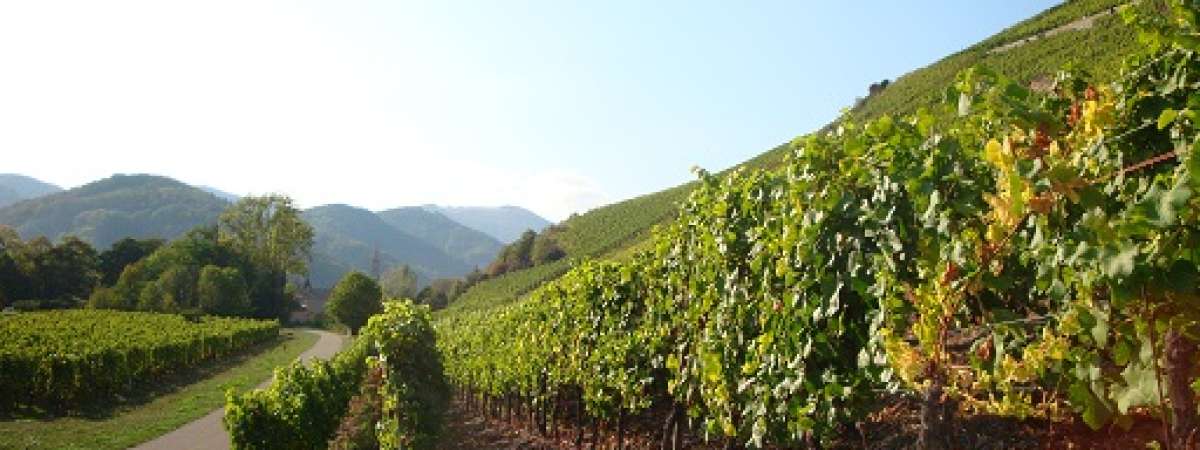
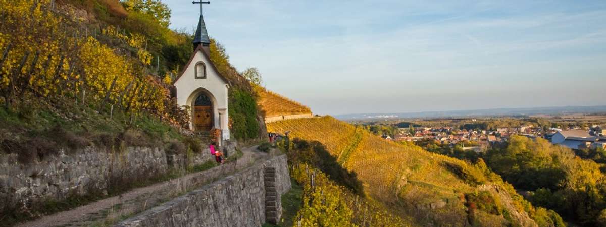
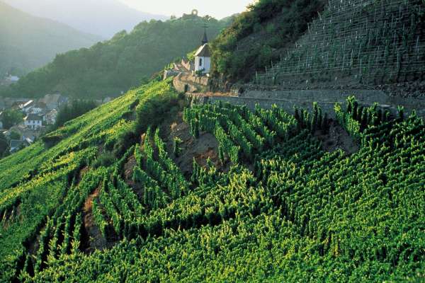
A road overlooking the historic and industrial town of Thann with a splendid panorama of the Thur valley and the alps by good weather. The route passes through vineyards planted on the side of the mountain, this vineyard is the steepest of Alsace!
A variant exists for all-terrain wheelchairs: Trail on road, then on cycling path with pavement and agricultural road. Climb the path for 600 m with a maximum slope of 13 %. Peak at 393 m after 2.5 km, then regular descent slightly inclined with a light rise. Visually impaired side-by-side guidance.
Health through walking: this route is suitable for Nordic walking, with adapted sticks, or Afghan walking, by synchronizing your breathing with your steps. It can also be done with a mindfulness perspective, by focusing on your sensations and by letting your spirit wander along the path.
Détails du parcours
Departure: THANN - rue du Kattenbachy
Marche nordique
Type de circuit : Pédestre
Useful information
Type of markup: Club vosgien
Card IGN: Map no. : 3620 ET
Parking: Parking du Kattenbach GPS N47.81737° E7.10861°
See also


