Home | Our health walking routes | Health walk Leimbach – Roderen
Health walk Leimbach - Roderen
Health walk Leimbach - Roderen
5,87 Km 2h 183 Easy En poussette 4x4
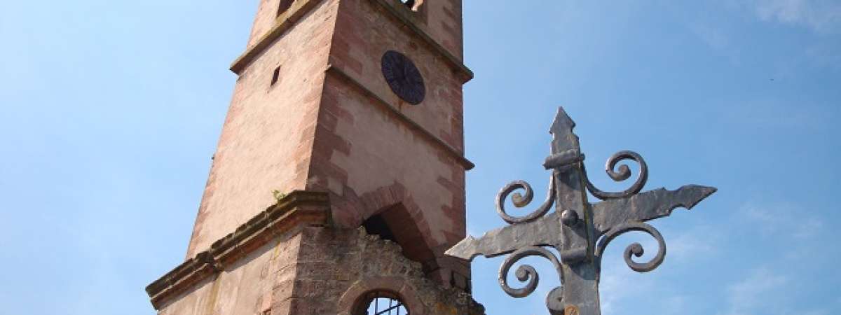
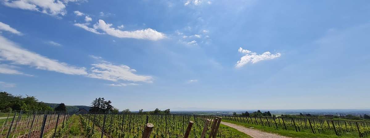
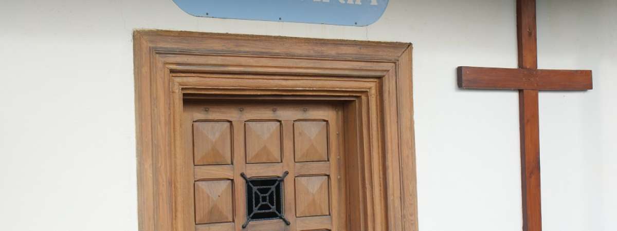
A trail, accessible with an all-terrain wheelchair, connecting two chapels witnesses of a past and living heritage of two villages, Leimbach and Roderen. At the place called "Les trois chênes" an oratory dedicated to Notre Dame des chênes offers a unique panorama of the Alsace plain and also a very pleasant moment of relaxation.
Accessibility information (all-terrain wheelchair): Hilly and technical trails on the road in Leimbach and Roderen, on forest roads, paths and road in Roderen. After a steep slope of 20 % on 150 m, the route has several alternating steep slopes up to 473 m at 4.7 km. A descent of less than 14 % with overhang and chaotic path on the descent from the highest peak. Potentially muddy passages. Visually impaired side by side and front and back guidance.
Health through walking: this route is suitable for Nordic walking, with adapted sticks, or Afghan walking, by synchronizing your breathing with your steps. It can also be done with a mindfulness perspective, by focusing on your sensations and by letting your spirit wander along the path.
Détails du parcours
Departure: STEINBACH - Parking cimetière
Marche nordique
Type de circuit : Pédestre
Useful information
Type of markup: Club vosgien
Card IGN: Map no. : 3620 ET
Parking: Parking des ruines de l'église Saint-Blaise

